
Rivers in the Martha Brae Watershed
The only rivers in the Martha Brae Watershed that carry substantial year-round flow are the Martha Brae / Roaring River in the north and Mouth River to the south.
Martha Brae river rises at Windsor and joins with Roaring River at Unity.
The source of Roaring River lies in the Maldon Inlier, which is drained by the Tangle River, which itself sinks and then reappears at Spring Vale Cave as the Springfield River. It flows NE across the polje to sink again and reemerge at the Deeside Rise as the Roaring River. The combined rivers flow northwards then eastwards near Good Hope.
About one mile after the Good Hope bridge, the river turns northwards to the Potosi Waterboil which is a group of boiling springs at an elevation of about 25m and discharging at about 1,700 l/sec.
North of the Waterboil the river flows through a narrow gorge which opens again south of Southfield (Rafters Village).
Main Gully, which only carries water after heavy rains, joins the river here.
Near Irving Tower the river emerges into the coastal plain and flows across its own alluvium-covered flood plain to enter the sea at Oyster Bay, between Falmouth and Rock.
The characteristics of the Martha Brae surface hydrology can be summarised as follows.
- Many of the upper tributaries have infrequent surface flow and possess no definite stream channel.
- Streams in limestone valleys have irregular hydrologic regimes. Some streams have permanent water flow while others alternate between wet and dry reaches. This indicates that the pattern of valley drainage systems is attributed to surface run-off under conditions of high rainfall.
- Under non-flood conditions, many of the valley systems are virtually inactive in that they carry very little or no surface flow. The base flow is supplied by underground drainage systems.
 |
 |
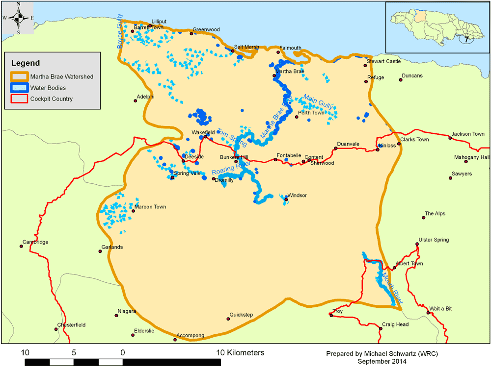
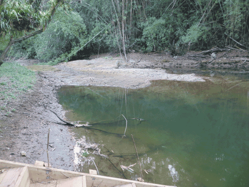
In steeply sloped valleys which experience periods of heavy rains, flow debris is very common in the upper parts of the valleys. Extensive fan-shaped deposits of coarse debris, composed of limestone gravel and cobbles, can be seen in the lower reaches of these valleys. Where stream networks are a function of perennial karstic base flows, valley stream systems are the products of ephemeral storm flow. The longitudinal profiles within the valleys are highly irregular over short distances. In part this is due to outcrops of particularly resistant limestone beds. A sequence of drops formed by these limestone outcrops can be seen downstream of the Martha Brae rafters’ station.
Fontabelle Rising is also fed by Printed Circuit Cave and runs a few hundred meters on the surface to sink again and rise as the Potosi Springs within the bed of Martha Brae. A small portion of this flow also rises at Bunkers Hill
Ponds are found in the perched watertable which corresponds to the geological transition zone along the Duanvale fault. The low permeability of the clay and silts which mantle the floors of the basins in the transition zone cause the retention of a large amount of the rainfall which falls on the clay and which is held in the clay itself or in the form of small superficial ponds. In this way a secondary “perched” watertable may be formed above the underlying White Limestone.
This perched watertable does not seem to bear any relationship to the water table level in the limestone below.
2021 UPDATE:
For additional maps highlighting proven underground flows (actually, demonstrated tracer input locations and detection locations: the precise subterranean
twists-and-turns and conduit flow connections, esp. during wet vs. dry seasons, are an unknown complexity is the karst aquifer), please see WRC's webpage which describes
aspects of hydrology and hydrodynamics in relation to Cockpit Country:
http://www.cockpitcountry.com/CCPAMaps.html
SELECTED REFERENCES
Brown, M.C. and D.C. Ford. 1973. Caves and groundwater patterns in a tropical karst environment: Jamaica, West Indies. American Journal of Science 273 (Summer): 622–633.
Dwyer, S. and D. Smikle. 2004. Cockpit Country Hydrological Assessment: A desk study of the hydrological and hydrogeological regime governing flow in the Cockpit Country of Jamaica. Report compiled for Water Resources Authority and The Nature Conservancy. To download this 45MB file, click here .
Ellins. K.K. 1992. Stable isotopic study of the groundwater of the Martha Brae river basin, Jamaica. Water Resources Research 28(6): 1597-1604.
US Army Corps of Engineers. 2001. Water Resources Assessment of Jamaica. Published report.
Water Resources Authority. 2019. Atlas - Water Quality Jamaica 2019. Published report.
Water Resources Authority (Jamaica) Water information System. Online hydrologic database: http://web-mapjam.dyndns.pro/webmap/app/db/index.php